


Fully editable Maps for PowerPoint
- PremiumSlides Maps of the United States
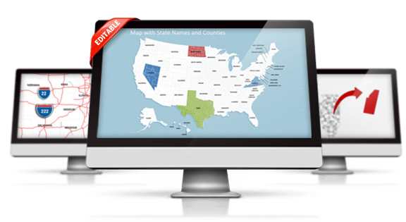
Display your figures and data on great-looking PowerPoint Maps. These maps are highly detailed and can be edited in size and color. All map templates show state, county and city names, which can be easily hidden or displayed. Extract every county or state for highlighting special areas. Download all your map templates directly after purchase. You can start working with PowerPoint immediately.
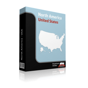
USA
-
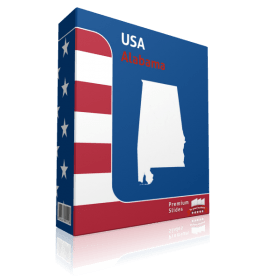
Alabama County Map Template for PowerPoint
Regular Price: $39.99
Special Price $29.99
-
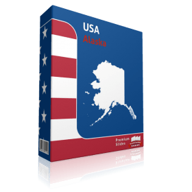
Alaska County Map Template for PowerPoint
Regular Price: $39.99
Special Price $29.99
-
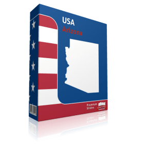
Arizona County Map Template for PowerPoint
Regular Price: $39.99
Special Price $29.99
-
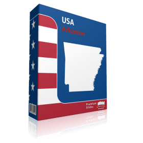
Arkansas County Map Template for PowerPoint
Regular Price: $39.99
Special Price $29.99
-
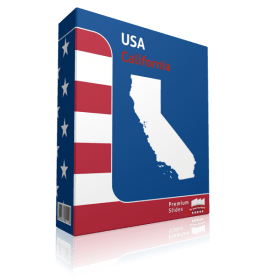
California County Map Template for PowerPoint
Regular Price: $39.99
Special Price $29.99
-

Colorado County Map Template for PowerPoint
Regular Price: $39.99
Special Price $29.99
-
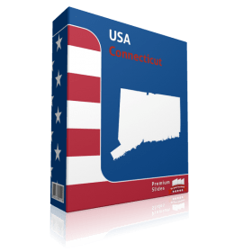
Connecticut County Map Template for PowerPoint
Regular Price: $39.99
Special Price $29.99
-
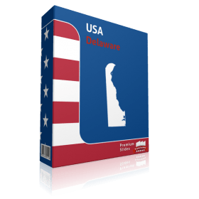
Delaware County Map Template for PowerPoint
Regular Price: $39.99
Special Price $29.99
-
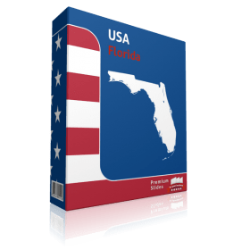
Florida County Map Template for PowerPoint
Regular Price: $39.99
Special Price $29.99
-
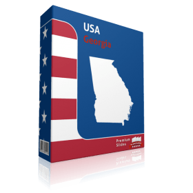
Georgia County Map Template for PowerPoint
Regular Price: $39.99
Special Price $29.99
-
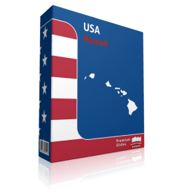
Hawaii County Map Template for PowerPoint
Regular Price: $39.99
Special Price $29.99
-
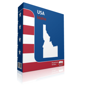
Idaho County Map Template for PowerPoint
Regular Price: $39.99
Special Price $29.99
-
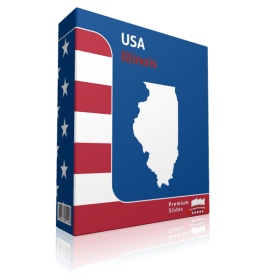
Illinois County Map Template for PowerPoint
Regular Price: $39.99
Special Price $29.99
-
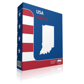
Indiana County Map Template for PowerPoint
Regular Price: $39.99
Special Price $29.99
-
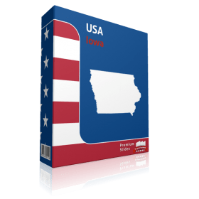
Iowa County Map Template for PowerPoint
Regular Price: $39.99
Special Price $29.99
-
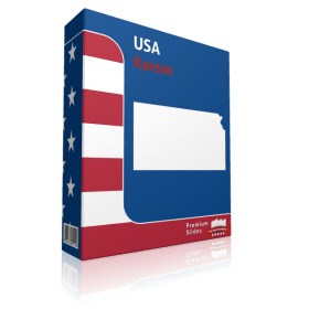
Kansas County Map Template for PowerPoint
Regular Price: $39.99
Special Price $29.99
-
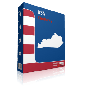
Kentucky County Map Template for PowerPoint
Regular Price: $39.99
Special Price $29.99
-
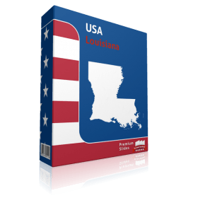
Louisiana County Map Template for PowerPoint
Regular Price: $39.99
Special Price $29.99
-
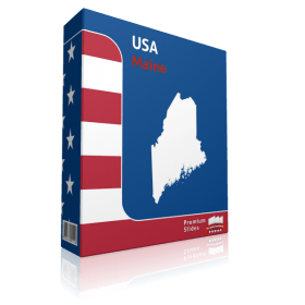
Maine County Map Template for PowerPoint
Regular Price: $39.99
Special Price $29.99
-
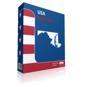
Maryland County Map Template for PowerPoint
Regular Price: $39.99
Special Price $29.99
-
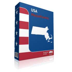
Massachusetts County Map Template for PowerPoint
Regular Price: $39.99
Special Price $29.99
-
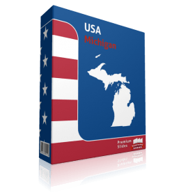
Michigan County Map Template for PowerPoint
Regular Price: $39.99
Special Price $29.99
-
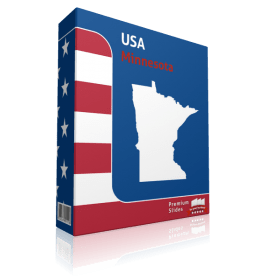
Minnesota County Map Template for PowerPoint
Regular Price: $39.99
Special Price $29.99
-
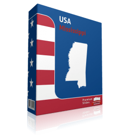
Mississippi County Map Template for PowerPoint
Regular Price: $39.99
Special Price $29.99
-
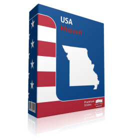
Missouri County Map Template for PowerPoint
Regular Price: $39.99
Special Price $29.99
-

Montana County Map Template for PowerPoint
Regular Price: $39.99
Special Price $29.99
-

Nebraska County Map Template for PowerPoint
Regular Price: $39.99
Special Price $29.99
-
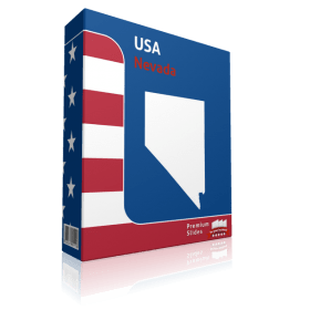
Nevada County Map Template for PowerPoint
Regular Price: $39.99
Special Price $29.99
-
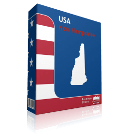
New Hampshire County Map Template for PowerPoint
Regular Price: $39.99
Special Price $29.99
-
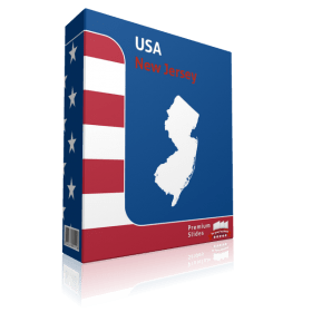
New Jersey County Map Template for PowerPoint
Regular Price: $39.99
Special Price $29.99
-

New Mexico County Map Template for PowerPoint
Regular Price: $39.99
Special Price $29.99
-
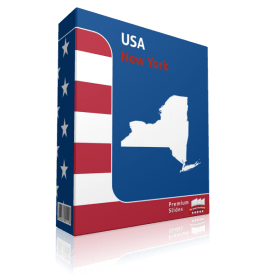
New York County Map Template for PowerPoint
Regular Price: $39.99
Special Price $29.99
-
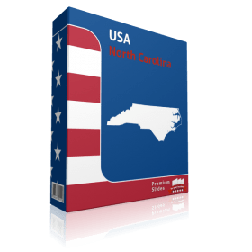
North Carolina County Map Template for PowerPoint
Regular Price: $39.99
Special Price $29.99
-
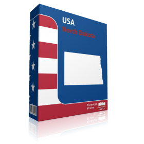
North Dakota County Map Template for PowerPoint
Regular Price: $39.99
Special Price $29.99
-
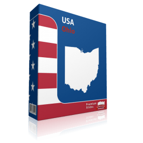
Ohio County Map Template for PowerPoint
Regular Price: $39.99
Special Price $29.99
-
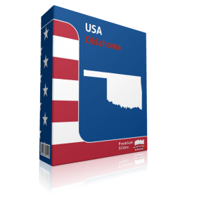
Oklahoma County Map Template for PowerPoint
Regular Price: $39.99
Special Price $29.99
-
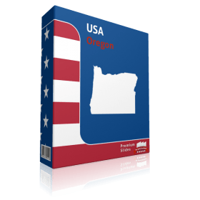
Oregon County Map Template for PowerPoint
Regular Price: $39.99
Special Price $29.99
-
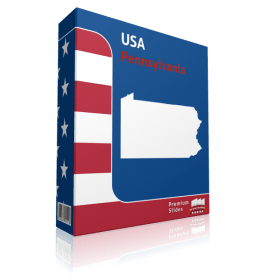
Pennsylvania County Map Template for PowerPoint
Regular Price: $39.99
Special Price $29.99
-
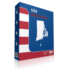
Rhode Island County Map Template for PowerPoint
Regular Price: $39.99
Special Price $29.99
-
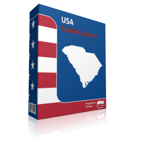
South Carolina County Map Template for PowerPoint
Regular Price: $39.99
Special Price $29.99
-
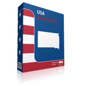
South Dakota County Map Template for PowerPoint
Regular Price: $39.99
Special Price $29.99
-
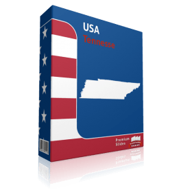
Tennessee County Map Template for PowerPoint
Regular Price: $39.99
Special Price $29.99
-
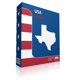
Texas County Map Template for PowerPoint
Regular Price: $39.99
Special Price $29.99
-
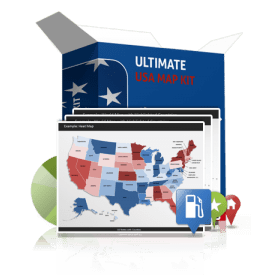
Ultimate US Map Kit
Regular Price: $1,547.00
Special Price $99.00
-
-
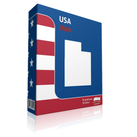
Utah County Map Template for PowerPoint
Regular Price: $39.99
Special Price $29.99
-
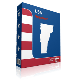
Vermont County Map Template for PowerPoint
Regular Price: $39.99
Special Price $29.99
-
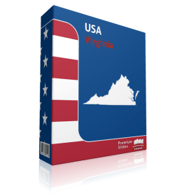
Virginia County Map Template for PowerPoint
Regular Price: $39.99
Special Price $29.99
-

Washington County Map Template for PowerPoint
Regular Price: $39.99
Special Price $29.99
-
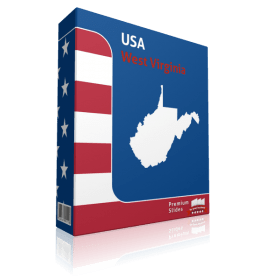
West Virginia County Map Template for PowerPoint
Regular Price: $39.99
Special Price $29.99
-
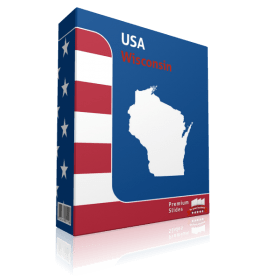
Wisconsin County Map Template for PowerPoint
Regular Price: $39.99
Special Price $29.99
-
Wyoming County Map Template for PowerPoint
Regular Price: $39.99
Special Price $29.99
US Map Templates for Microsoft Office PowerPoint - Direct Download and fully editable.
Show all your information on your Map templates of the US. Do you need to present routes, headquarters, branches, customer locations or other data by US state? Not hard with PremiumSlides PowerPoint maps. You can display any kind of data on these maps. Put anything including, charts, icons, symbols and graphics on PremiumSlides maps. Work with our maps like you normally work in PowerPoint.
Fully editable maps for Microsoft PowerPoint
These extremely detailed PowerPoint maps are entirely editable in size and color. Each country, county or state (depending on the map) can be extracted or highlighted. Because of the premium quality you can resize any map without any loss of quality. This is significant if you want to print your PowerPoint Slides.
Why do the PremiumSlides Maps have such good quality?
The most essential factor in the high quality is the number of polygons drawn in a map. The number of polygons is important for the detail of the map. The more polygons you have, the more detail you notice. But there is a downside to this; if there are too many polygons, PowerPoint will become very slow and the file size will increase. Especially if you have multiple maps in one presentation, the file size can be very big and in some cases you may be unable to email your presentation. However fewer polygons bring less detail to the map. At PremiumSlides.com we found a way of improving the maps to have great detail by best performance and file size.
All Slides work on Microsoft Office, no plugin or extra software required.
We ensure that all our products work with Microsoft Office more recent than Office 2003. You can work with our maps and shapes not only in PowerPoint but likewise MS Word and MS Excel. All products even work on Office for Mac.
PremiumSlides owns 100% copyright on all our products. Be on the safe side.
Every PowerPoint Map and every slide is produced by PremiumSlides. We do not use open libraries or other components in our work. So you will never have any copyright issues, because we give you the right to use our work after purchase. These days this is more and more significant because many free download sites have started suing companies for using their free work for commercial purposes. With our products you avoid this old trap.
Download PowerPoint Maps of the United States directly and you can even re-download
You can download your purchased map files and slides directly after purchase, so you can begin working with your PowerPoint map templates straight away. We even keep your purchased map files on your PremiumSlides customer account. If you have a PC crash with a loss of data, you can re-download any of your slides. Or if you are on a business trip and forgot your presentation package, you can still have access your map files not matter where you are.
What do you get with a PremiumSlides purchase? PPT, PTX, POT.
Immediately following purchase we send you all files via e-mail to your defined email address. You can open the files and start working right away in your Microsoft Office program.


