
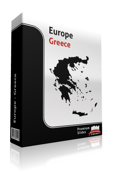
PremiumSlides
Greece Map - Editable Map of Greece - Template for PowerPoint
From $64.99Unit price /Unavailable
PremiumSlides
Switzerland Map - Editable Map of Switzerland - Template for PowerPoint
From $64.99Unit price /Unavailable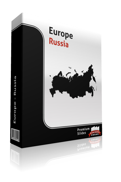
PremiumSlides
Russia Map - Editable Map of Russia - Template for PowerPoint
From $64.99Unit price /Unavailable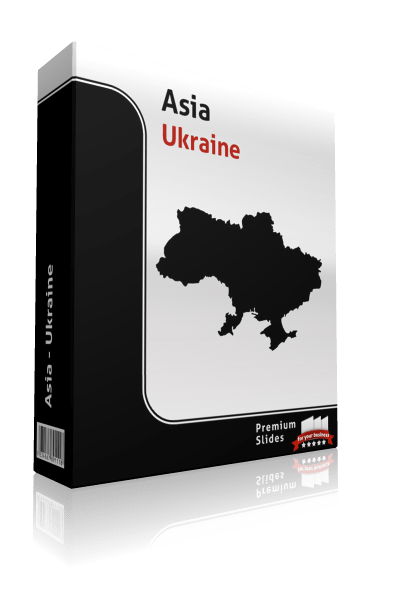
PremiumSlides
Ukraine Map - Editable Map of Ukraine - Template for PowerPoint
From $64.99Unit price /Unavailable
PremiumSlides
Bulgaria Map - Editable Map of Bulgaria - Template for PowerPoint
From $79.99Unit price /Unavailable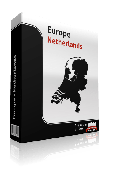
PremiumSlides
Netherlands Map - Editable Map of Netherlands - Template for PowerPoint
From $64.99Unit price /Unavailable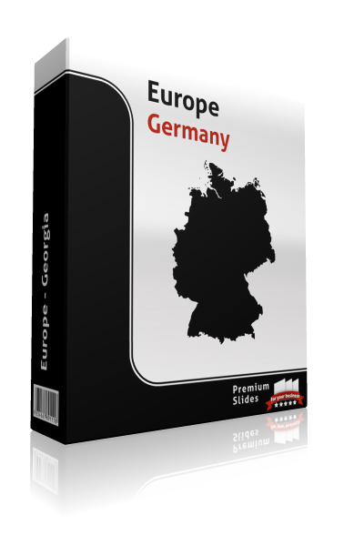
PremiumSlides
Germany Map - Editable Map of Germany - Template for PowerPoint
From $64.99Unit price /Unavailable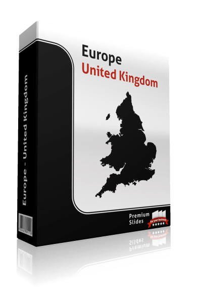
PremiumSlides
United Kingdom Map - Editable Map of United Kingdom - Template for PowerPoint
From $64.99Unit price /Unavailable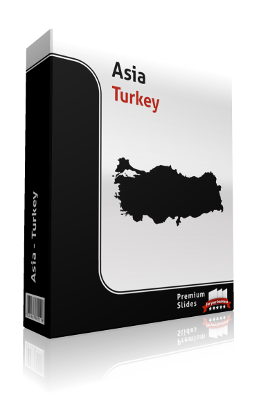
PremiumSlides
Turkey Map - Editable Map of Turkey - Template for PowerPoint
From $64.99Unit price /Unavailable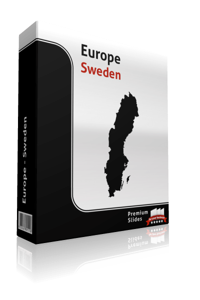
PremiumSlides
Sweden Map - Editable Map of Sweden - Template for PowerPoint
From $64.99Unit price /Unavailable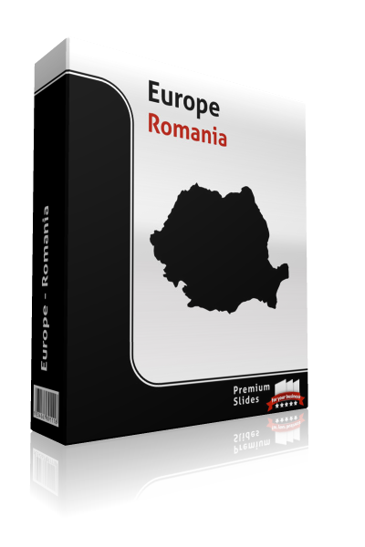
PremiumSlides
Romania Map - Editable Map of Romania - Template for PowerPoint
From $64.99Unit price /Unavailable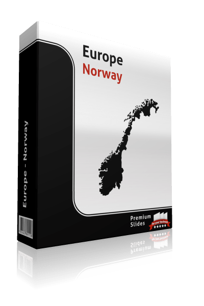
PremiumSlides
Norway Map - Editable Map of Norway - Template for PowerPoint
From $64.99Unit price /Unavailable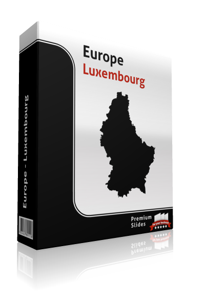
PremiumSlides
Luxembourg Map - Editable Map of Luxembourg - Template for PowerPoint
From $64.99Unit price /Unavailable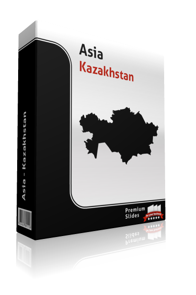
PremiumSlides
Kazakhstan Map - Editable Map of Kazakhstan - Template for PowerPoint
From $64.99Unit price /Unavailable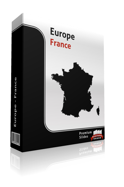
PremiumSlides
France Map - Editable Map of France - Template for PowerPoint
From $64.99Unit price /Unavailable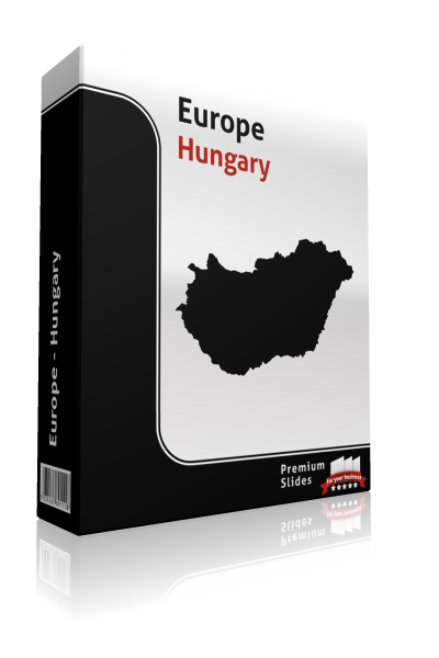
PremiumSlides
Hungary Map - Editable Map of Hungary - Template for PowerPoint
From $64.99Unit price /Unavailable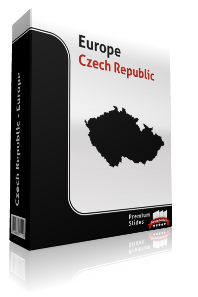
PremiumSlides
Czech Republic Map - Editable Map of Czech Republic - Template for PowerPoint
From $79.99Unit price /Unavailable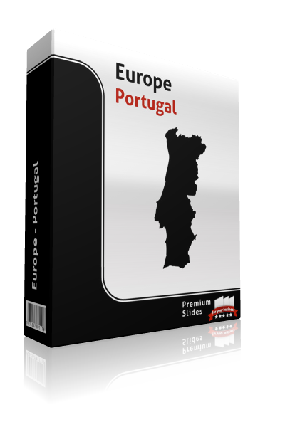
PremiumSlides
Portugal Map - Editable Map of Portugal - Template for PowerPoint
From $79.99Unit price /Unavailable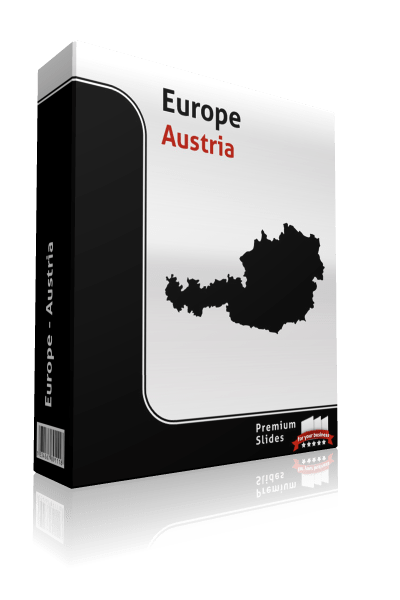
PremiumSlides
Austria Map - Editable Map of Austria - Template for PowerPoint
From $64.99Unit price /Unavailable
PremiumSlides
Macedonia Map - Editable Map of Macedonia - Template for PowerPoint
From $64.99Unit price /Unavailable
PremiumSlides
Italy Map - Editable Map of Italy - Template for PowerPoint
From $64.99Unit price /Unavailable
PremiumSlides
Ireland Map - Editable Map of Ireland - Template for PowerPoint
From $64.99Unit price /Unavailable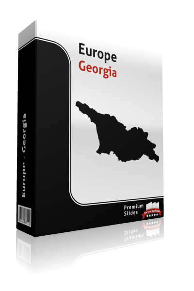
PremiumSlides
Georgia Map - Editable Map of Georgia - Template for PowerPoint
From $64.99Unit price /Unavailable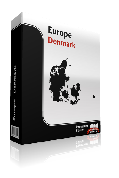
PremiumSlides
Denmark Map - Editable Map of Denmark - Template for PowerPoint
From $64.99Unit price /Unavailable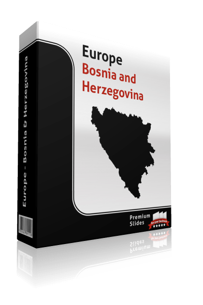
PremiumSlides
Bosnia and Herzegovina Map - Editable Map of Bosnia and Herzegovina - Template for PowerPoint
From $64.99Unit price /Unavailable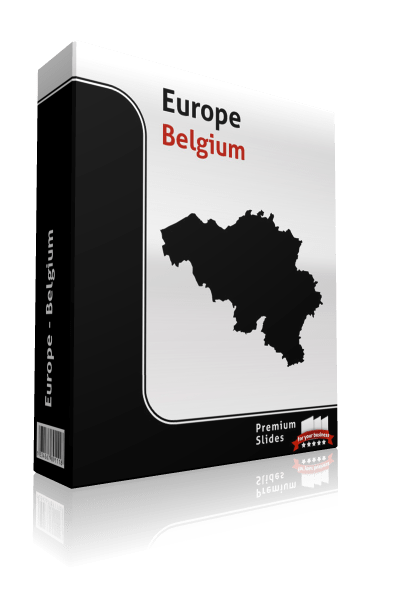
PremiumSlides
Belgium Map - Editable Map of Belgium - Template for PowerPoint
From $64.99Unit price /Unavailable
PremiumSlides
Albania Map - Editable Map of Albania - Template for PowerPoint
From $79.99Unit price /Unavailable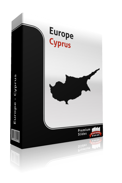
PremiumSlides
Cyprus Map - Editable Map of Cyprus - Template for PowerPoint
From $79.99Unit price /Unavailable
PremiumSlides
Spain Map - Editable Map of Spain - Template for PowerPoint
From $64.99Unit price /Unavailable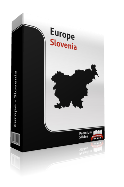
PremiumSlides
Slovenia Map - Editable Map of Slovenia - Template for PowerPoint
From $64.99Unit price /Unavailable
PremiumSlides
San Marino Map - Editable Map of San Marino - Template for PowerPoint
From $64.99Unit price /Unavailable
PremiumSlides
Poland Map - Editable Map of Poland - Template for PowerPoint
From $79.99Unit price /Unavailable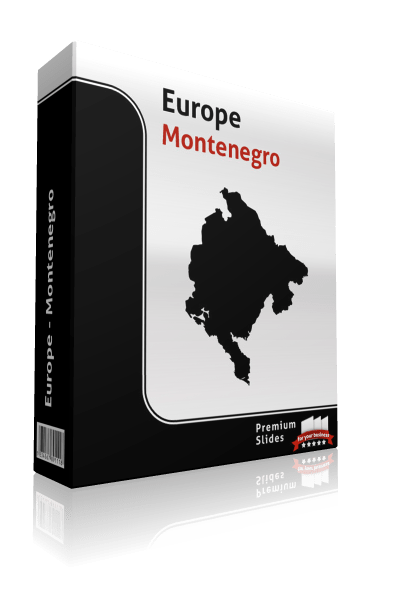
PremiumSlides
Montenegro Map - Editable Map of Montenegro - Template for PowerPoint
From $64.99Unit price /Unavailable
PremiumSlides
Monaco Map - Editable Map of Monaco - Template for PowerPoint
From $64.99Unit price /Unavailable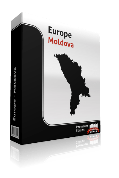
PremiumSlides
Moldova Map - Editable Map of Moldova - Template for PowerPoint
From $64.99Unit price /Unavailable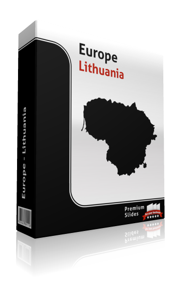
PremiumSlides
Lithuania Map - Editable Map of Lithuania - Template for PowerPoint
From $64.99Unit price /Unavailable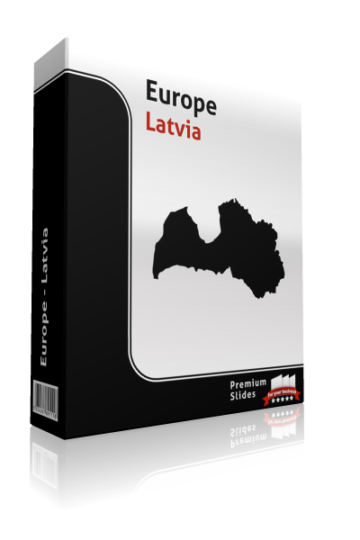
PremiumSlides
Latvia Map - Editable Map of Latvia - Template for PowerPoint
From $64.99Unit price /Unavailable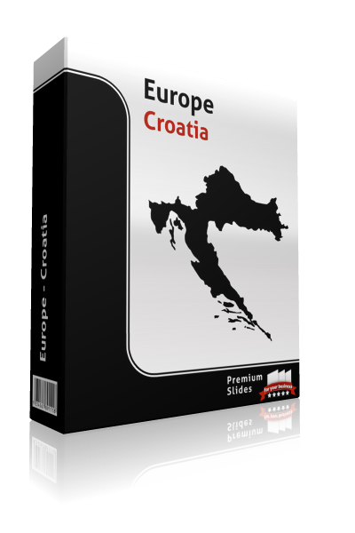
PremiumSlides
Croatia Map - Editable Map of Croatia - Template for PowerPoint
From $64.99Unit price /Unavailable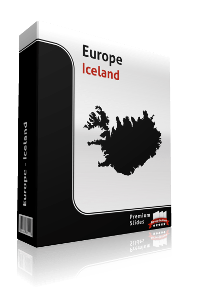
PremiumSlides
Iceland Map - Editable Map of Iceland - Template for PowerPoint
From $64.99Unit price /Unavailable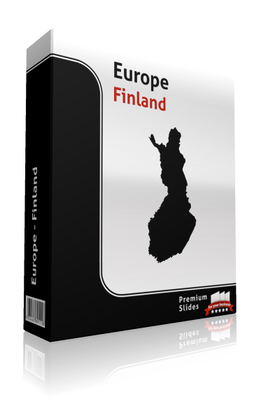
PremiumSlides
Finland Map - Editable Map of Finland - Template for PowerPoint
From $64.99Unit price /Unavailable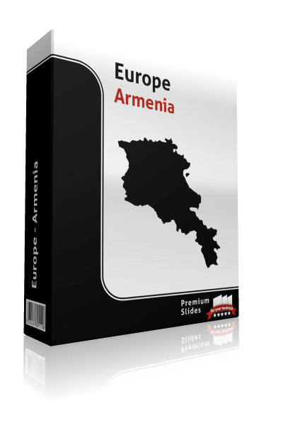
PremiumSlides
Armenia Map - Editable Map of Armenia - Template for PowerPoint
From $64.99Unit price /Unavailable
PremiumSlides
Andorra Map - Editable Map of Andorra - Template for PowerPoint
From $79.99Unit price /Unavailable


