


North and South American Country Maps
- PremiumSlides Maps with high detail
A focus on detail and no shortcuts during creation has brought about premium PowerPoint Maps. These templates look great in any presentation. The maps for North and South America are fully editable and resizable without loss in detail. With up to 14 color presets you are ready to create your own data maps fast and easily. All PowerPoint Slides can be downloaded immediately after purchase.

America


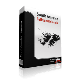


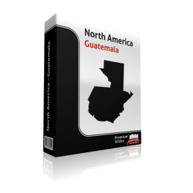
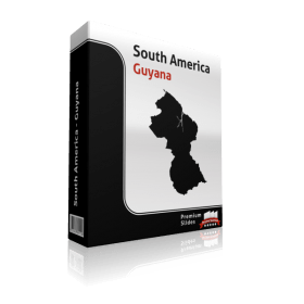
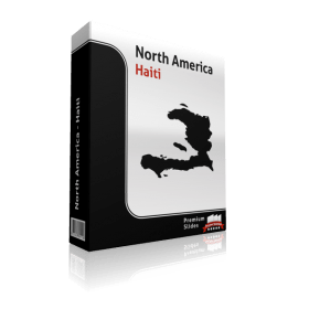


North America and South America Map Templates for Microsoft Office PowerPoint - Direct Download and fully editable.
Display all your data on your Map templates of America. Do you would like to showcase routes, headquarters, branches, customer locations or other data by country or region? Not a problem with PremiumSlides PowerPoint maps. You can exhibit any type of data on these maps. Include anything including, charts, icons, symbols and graphics on PremiumSlides maps. Work with our maps like you prefer to work in PowerPoint.
Fully editable maps for Microsoft PowerPoint
These highly detailed PowerPoint maps are completely editable in size and color. Every country, county or state (depending on the map) can be extracted or highlighted. Because of the premium quality you can resize any map with no loss of quality. This is relevant if you want to print your PowerPoint Slides.
Up to 14 Multiple Color themes for PowerPoint Maps are already included
There are as many as 14 different color designs shipped with all the PremiumSlides map kits. You can switch all colors of your map with just one click. This makes it simple to use maps in your own presentation. The colors have been selected to look great together. To use PremiumSlides Maps for PowerPoint you do not have to be a design expert to display great looking slides in your presentation.
All Slides work on Microsoft Office, no plugin or extra software required.
We ensure that all our products work with Microsoft Office newer than Office 2003. You can work with our maps and shapes not only in PowerPoint but also MS Word and MS Excel. All products even work on Office for Mac. Only the Selection list add on is not supported by Office for Mac. You do not need any new plugins or any other software! Just start PowerPoint and work straight away.
Effortless and fast – the PremiumSlides Selection Lists for PowerPoint Maps
Save your time and select the countries with our comfortable Selection list tool. Click on the preferred country and color the shape with one click. All countries in the selection list are in alphabetic order and simple to find. You can also select the state on your map, and the state wil be highlighted in the selection list. A lot of of our maps are delivered with a selection list. Please check product details. (Due to technical disadvantages of Microsoft Office for Mac, Selection Lists are only available for PC.)
Why do the PremiumSlides Maps have such good quality?
The most important factor in the high quality is the number of polygons used in a map. The number of polygons is responsible for the detail of the map. The more polygons you have, the more detail you view. But there is a downside to this; if there are too many polygons, PowerPoint will become very slow and the file size will increase. Mostly if you have multiple maps in one presentation, the file size can be very large and often times you may be unable to email your presentation. Then again less polygons bring less detail to the map. At PremiumSlides.com we found a way of improving the maps to have great detail by best speed and file size.
Download PowerPoint Maps of North and South American countries instantly and you can also re-download
You can download your purchased map files and slides immediately after purchase, so you can begin working with your PowerPoint map templates right away. We even keep your purchased map files on your PremiumSlides customer account. If you have a PC crash with damage to your data, you can re-download any of your slides. Or if you are on business travel and forgot your presentation package, you can still have download your map files wherever you are.
What do you get with a PremiumSlides purchase? PPT, PTX, POT.
Right after purchase we send you all files via email to your defined email address. You can open the files and start working without delay in your Microsoft Office program.
PremiumSlides has 100% copyright on all our products. Be on the safe side.
Each PowerPoint Map and every slide is produced by PremiumSlides. We do not use open libraries or other components in our work. So you will not have any copyright issues, because we give you the right to use our work after purchase. These days this is more and more significant because many free download sites have started suing companies for using their free work for commercial purposes. With our products you avoid this old trap.
Information about North America you can utilize in your slide presentation.
The North America landmass is the third largest continent on earth following Asia and Africa, and the fourth by population after Asia, Africa, and Europe. With an estimated population of 460 million and a landmass of 24,473,000 square km (9,449,078 sq mls), the northernmost of the two continents (North and South America) of the Western geographical area is surrounded by the Pacific Ocean on the west and the Atlantic Ocean on the east. On the south it is bordered by the Caribbean Sea, Atlantic and Pacific Oceans, and South America. On the north it is bounded by the Arctic Ocean. North America covers about 16.5% of the Earth's land area and about 4.8% of its total surface.
North America (not the USA) is frequently understood to include the area of Greenland and the isles of the Caribbean, and to extend south the whole way to the Isthmus of Panama. Although the term Middle America is sometimes used for grouping the regions of Central America, the Caribbean and Mexico.
North America consists of 23 sovereign states.
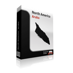
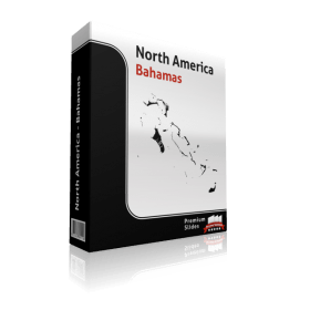
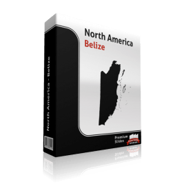
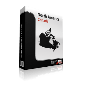
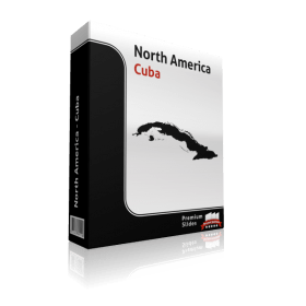
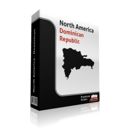
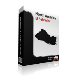
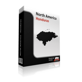
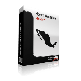
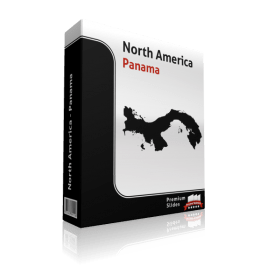
The states in alphabetical order are: Antigua and Barbuda, The Bahamas, Barbados, Belize, Canada, Costa Rica, Cuba, Dominica, Dominican Republic, El Salvador, Grenada, Guatemala, Haiti, Honduras, Jamaica, Mexico, Nicaragua, Panama, Saint Kitts and Nevis, Saint Lucia, Saint Vincent and the Grenadines, Trinidad and Tobago and the United States.
The largest regions on the continent, the US and Canada, have defined and recognized regions. In the case of Canada, the specified areas are the British Columbia Coast, Canadian Prairies, Central Canada, Atlantic Canada, and Northern Canada. These areas also comprise of many subregions. Regarding the USA, and in line with the US Census Bureau explanations – these regions are: New England, Mid-Atlantic, East North Central States, West North Central States, South Atlantic States, East South Central States, West South Central States, Mountain States, and Pacific States. Areas shared between both nations include the Great Lakes Region. Megalopolises have also developed between both countries in the case of the Pacific Northwest and the Great Lakes Megaregion.
Important basic facts in regard to the geography of North America
The lowest point in North America is in Death Valley in the United States, where it is 86 m below sea level. The highest point in North America is in Denali. This spot is known as Mount McKinley in the United States with a height of 6,190 m. The longest river is Mississippi-Missouri with a length of 6,238 km, also located in the United States.
Details about South America you can utilize in your slide presentation.
South America is a continent situated in the south western hemisphere, with a fairly small part in the northern hemisphere. South America is bordered on the north and east by the Atlantic Ocean and on the west by the Pacific Ocean. The Caribbean Sea and North America lie to the northwest. It includes twelve sovereign states.
South America consists of an area of 17,819,000 square kilometers (6,879,954 square miles). In 2005 its population was estimated at more than 371,090,000. South America is the fourth largest continent by area (after Asia, Africa and North America) and ranks fifth in population (after Asia, Africa, Europe and North America). The country Brazil is without a question the most populous South American country. It has more than half of the continent's population, followed by Colombia, Argentina, Venezuela and Peru. In recent decades Brazil has also been responsible for half of the region's Gross domestic product and has become the first local economic power.
North America consists of 12 sovereign states.
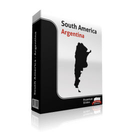
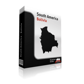
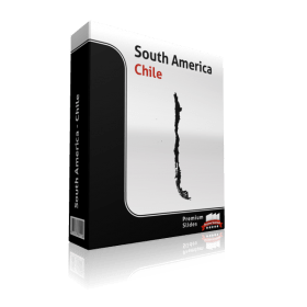
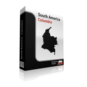
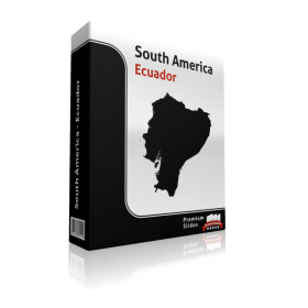
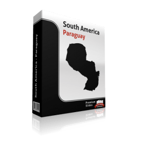
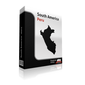
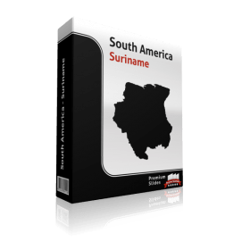
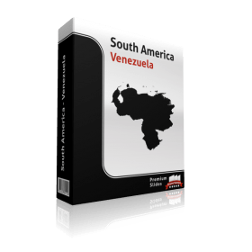
The states in alphabetical order are: Argentina, Bolivia, Brazil, Chile, Colombia, Ecuador, Guyana, Paraguay, Peru, Suriname, Uruguay, Venezuela.
Important facts about the geography of South America
The highest point in South America is Cerro Aconcagua in Argentina with a height of 6,960 m. The lowest point is Laguna del Carbon located in Argentina, which is 105 m below sea level. The longest waterway is the Amazon with a length of 6,436 km.


