


Upgrade your PowerPoint Presentation with new Maps
- PremiumSlides Maps of Asia
Color a country on your map and paste it into any of your presentations. Easy, fast and perfect looking. No messing around with third party plugins or new software. Just use your standard PowerPoint installation. All maps of the Asian continent can be resized and also incorporated in your MS Word or MS Excel documents. You can download the PowerPoint map templates immediately after purchase.

Asia


Asia Map Templates for Microsoft Office PowerPoint - Instant Download and fully editable.
Exhibit all your data on your Map templates of Asia. Do you need to show routes, headquarters, branches, customer locations or other data by country or state? Not difficult with PremiumSlides PowerPoint maps. You can present any kind of data on these maps. Put anything including, charts, icons, symbols and graphics on PremiumSlides maps. Work with our maps like you normally work in PowerPoint.
Fully editable maps for Microsoft PowerPoint
These very detailed PowerPoint maps are completely editable in size and color. Every country, county or state (depending on the map) can be extracted or highlighted. Because of the top quality you can resize any map with no loss of quality. This is relevant if you want to print your PowerPoint Slides.
Simple and fast – the PremiumSlides Selection Lists for PowerPoint Maps
Save time and select the countries with our comfortable Selection list tool. Click on the preferred country and color the shape with one simple click. All countries in the selection list are in alphabetical order and simple to find. You can also select the state on your map, and the state wil be highlighted in the selection list. The majority of our maps are delivered with a selection list. Please check product details. (Because of technical disadvantages of Microsoft Office for Mac, Selection Lists are only offered for PC.)
Why do the PremiumSlides Maps have such great quality?
The most important factor in the high quality is the number of polygons drawn in a map. The number of polygons is responsible for the detail of the map. The more polygons you have, the more detail you view. But there is a negative to this; if there are too many polygons, PowerPoint will become very slow and the file size will go up. Especially if you have multiple maps in one presentation, the file size can be very big and in some cases you may be unable to email your presentation. However fewer polygons bring less detail to the map. At PremiumSlides.com we found a way of optimizing the maps to have great detail by maximum speed and file size.
Download PowerPoint Maps of Asia directly and you can also re-download
You can download your bought map files and slides immediately after purchase, so you can start working with your PowerPoint map templates straight away. We even keep your purchased map files on your PremiumSlides customer account. If you have a PC crash with a loss of data, you can re-download any of your slides. Or if you are on a business trip and forgot your presentation package, you can still have download your map files wherever you are.
What do you get with a PremiumSlides purchase? PPT, PTX, POT.
Immediately after purchase we send you all files via email to your defined email address. You can open the files and start working straightaway in your Microsoft Office program.
All Slides work on Microsoft Office, no plugin or extra software required.
We certify that all our products work with Microsoft Office newer than Office 2003. You can work with our maps and shapes not only in PowerPoint but also MS Word and MS Excel. All files even work on Office for Mac. Only the Selection list add on is not supported by Office for Mac. You do not need any new plugins or any other software! Just launch PowerPoint and work straight away.
PremiumSlides obtain 100% copyright on all our products. Be on the safe side.
Each PowerPoint Map and every slide is developed by PremiumSlides. We do not use open libraries or other components in our work. So you will not have any copyright issues, because we give you the right to use our work after purchase. These days this is more and more relevant because many free download sites have started suing companies for using their free work for commercial purposes. With our products you avoid this pitfall.
Up to 14 Color options for PowerPoint Maps are already included.
There are as many as 14 different color designs shipped with all the PremiumSlides map kits. You can modify all colors of your map with just one mouse click. This makes it easy to incorporate maps in your own presentation. The colors have been picked to look great in combination. To making use of PremiumSlides Maps for PowerPoint you do not have to be a design genius to showcase great looking slides in your presentation.
Facts about Asia you can use in your slide presentation.
Asia is the largest continent in the world as measured by landmass and population. It is primarily located in the eastern and northern hemispheres and shares some countries with the landmass of Europe. The shared land is sometimes called Eurasia.
Asian Continent Maps
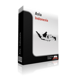
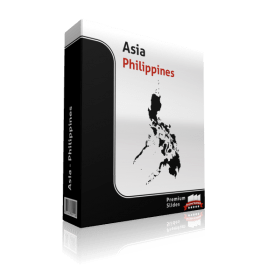
Asia contains all the countries of the Philippines, Malaysia, and Indonesia. The island destinations of the Pacific ocean are often combined with Australia into a geographic area called Oceania or Australasia. The Asian continent is bounded on the south by the Indian Ocean, on the east by the Pacific Ocean and to the north by the Arctic Ocean. The western border with the West is a historical and cultural construct, as there is no well-defined geographical or physical split between them.
The most frequently accepted borders place Asia to the east of the Suez Canal, the Ural River, and the Ural Mountains, and south of the Caucasus Mountains and the Caspian and Black Seas.
Important details when it comes to the geography of Asia
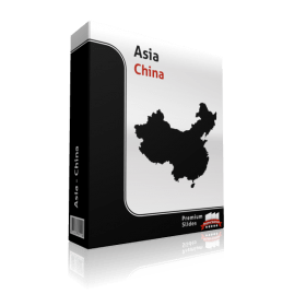
Asia covers a size of 44,568,500 sq kilometers. It is the biggest landmass with 30 % of Earth's total land area, and 8.7 % of the Earth's total surface. Asia has also the highest point in the world. Mount Everest situated in China-Nepal has a height of 8,850 m. The lowest point is located in the Dead Sea in Israel-Jordan. It is about 408 m below sea level. Asia also incorporates five of the top ten longest waterways on Earth. These are listed in order of length: Yenisey-Angara 5,981 km, Ob-Irtysh 5,569 km, Yangtze 5,525 km, Yellow 4,671 km, Amur 4,352 km and Lena 4,345 km.
Asia consists of forty-eight autonomous states. Five of them are shared with Europe.
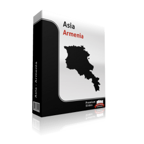
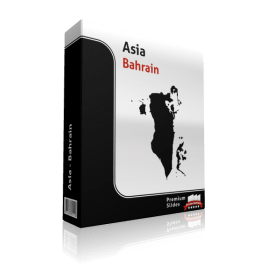
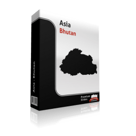
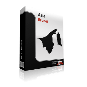
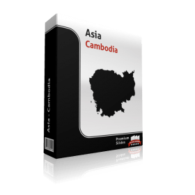
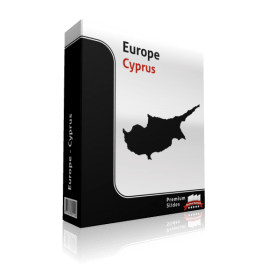
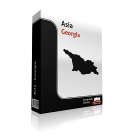
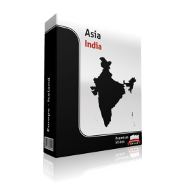
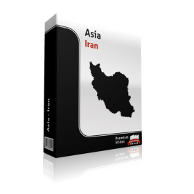
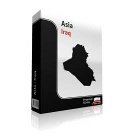
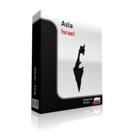
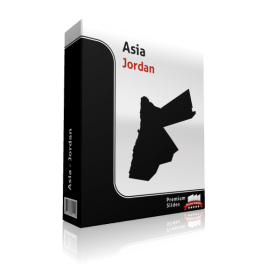
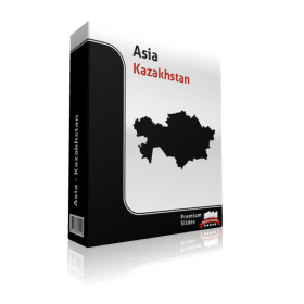
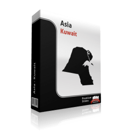
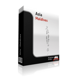
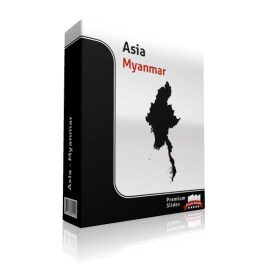
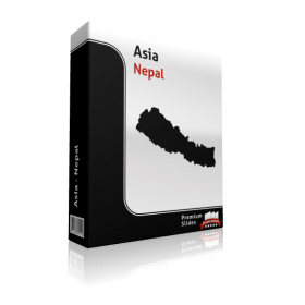
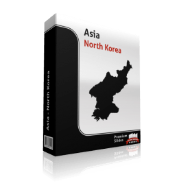
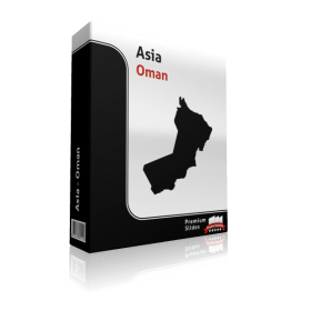
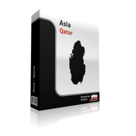
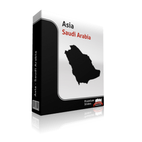
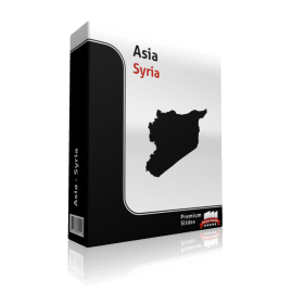
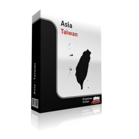
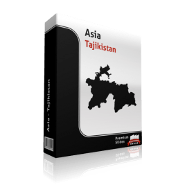
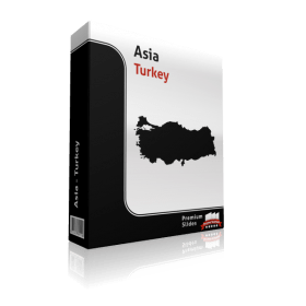
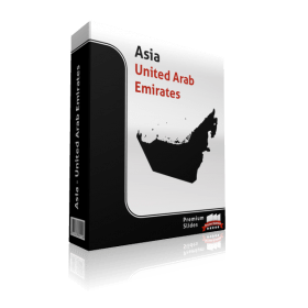
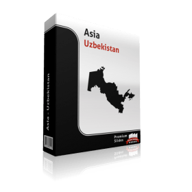
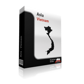
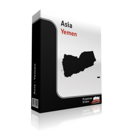
Asian states in alphabetical order are: Afghanistan, Armenia, Azerbaijan, Bahrain, Bangladesh, Bhutan, Brunei, Burma, Cambodia, China, Cyprus, Georgia, India, Indonesia, Iran, Iraq, Israel, Japan, Jordan, Kazakhstan, North Korea, South Korea, Kuwait, Kyrgyzstan, Laos, Lebanon, Malaysia, Maldives, Mongolia, Nepal, Oman, Pakistan, Philippines, Qatar, Russia, Saudi Arabia, Singapore, Sri Lanka, Syria, Tajikistan, Thailand, Timor-Leste, Turkey, Turkmenistan, United Arab Emirates, Uzbekistan, Vietnam and Yemen. The countries of Azerbaijan, Georgia, Kazakhstan, Russia, and Turkey are shared with Europe.
Significant information regarding population of Asia
Asia is divided into two parts. There are huge settlements as well as vast regions that are barely populated. The continent at this time has a population of 4.4 billion people. It’s people have the most diverse languages on earth. There are approximately 2,300 languages spoken in Asia these days.


