Details about Wyoming County Map Template for PowerPoint
Premium PowerPoint Map of US State Wyoming. This detailed PowerPoint Map Template shows Wyoming counties, county names and biggest cities including the Wyoming state capital. The Wyoming PowerPoint Map is hand drawn and fully editable in size and color.
Specific territories can be highlighted easily with just 2 clicks in PowerPoint. The Wyoming Map Template is a great benefit for showing sales data in this state.
Do not wait! Get this Premium Wyoming Map Template for an unbeatable price today and impress your audience in your next meeting!
The map template of Wyoming (WY) includes the following counties:
Albany, Big Horn, Campbell, Carbon, Converse, Crook, Fremont, Goshen, Hot Springs, Johnson, Laramie, Lincoln, Natrona, Niobrara, Park, Platte, Sheridan, Sublette, Sweetwater, Teton, Uinta, Washakie, Weston
Impressive features are provided with this map template of Wyoming (WY)
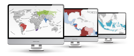
The map template of Wyoming (WY) is fully editable in Microsoft PowerPoint
These exceptionally detailed PowerPoint maps are completely editable in size and color. Each country, county or state (depending on the map) can be extracted or highlighted. Because of the top quality you can resize any map without any loss of quality. This is important if you want to print your PowerPoint Slides.
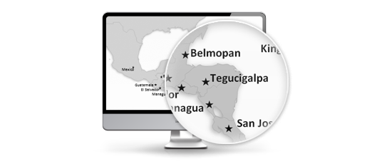
State and Cities are shown on Wyoming (WY) PowerPoint Map
This PowerPoint map is delivered with state and capital name tags. All views are well organized. Country and city tags can be hidden with just one mouse click if you prefer a blank map.

Direct download for Microsoft PowerPoint
We certify that all our products work with Microsoft Office more recent than Office 2003. You can work with our maps and shapes not only in PowerPoint but likewise MS Word and MS Excel. All files even work on Office for Mac. Only the Selection list add on is not supported by Office for Mac. You do not need any new plugins or any other software! Just launch PowerPoint and work without delay. You can download your purchased map files and slides directly after purchase.
Facts and information about Wyoming State you can use in your presentation.
The history of US State of Wyoming (WY)
Wyoming (WY) is also known as the Equality State. The name Wyoming comes from the Delaware Indian word meaning "mountains and valleys alternating"; the same as the Wyoming Valley in Pennsylvania. The date of admission to the Union was on July 10, 1890 out of Wyoming Territory. It is the 44th state to joining the other constituent entities. The motto of the state is: Equal rights (1955).
Geographic facts about Wyoming (WY)
The total size of this US State is about 97,812 square miles. Therefore Wyoming ranks in 10th place among all other US States in terms of land area. Actually 97,088 square miles are covered by land and 724 square miles are covered by water. The mean elevation is 6,7 feet. Wyoming's highest point is Gannett Peak with a height of 13,804 feet. The lowest place is Belle Fourche River, which is 3.099 feet. Its geographic center can be found in Fremont County, 58 miles east-northeast of Lander. Wyoming is bordered by the following states: Colorado, Idaho, Montana, Nebraska, South Dakota, Utah.
Population and people of Wyoming (WY)
In 2015, 586,107 people lived in Wyoming. The most people live in the capital Cheyenne. The residents are called Wyomingite.
Industry and Agriculture of Wyoming (WY)
Wyoming is known for these industries: Mining, chemical products, lumber and wood products, printing and publishing, machinery, tourism. Wyoming is significant producer of agricultural products, including Cattle, sugar beets, sheep, hay, wheat.
Wyoming is located in the region known as the Western United States.
Based on the Census Bureau the Western United States commonly described as the American West, the Far West, or simply the West is one of the four geographic specified regions.
The area includes the westernmost states of the United States. It is the largest area of the country, and includes more than half the land area of the United States.
Because of the large size and diversity, smaller areas with more closely shared demographics and geography have developed as sub-regions. The Census Bureau has split the region into these sub-regions including the Mountain States of Montana, Wyoming, Colorado, New Mexico, Idaho, Utah, Arizona, and Nevada and the Pacific States of Washington, Oregon, California, Alaska, and Hawaii.
Silicon Valley, the Science and Industrial Park, is the location of many of the world's largest high-tech businesses, and thousands of startup companies are placed in California. That's the reason this region has become the most populous state and one of the top 10 economies in the world.
Additional Information for Wyoming County Map Template for PowerPoint
| Manufacturer | PremiumSlides |
|---|---|
| Delivery Time | immediately - download |
| Colors | grey |
| Editable | fully editable |
| License | Standard |
| Mastersupport | No |
| PowerPoint Version | >PowerPoint Version 2003, PowerPoint Version 2007, PowerPoint Version 2010, PowerPoint Version 365 |
| Slides | 7 |
| Selection list | nein |
| State | Wyoming |
Do you have a questions about this product? Just ask, we are here to help.


